Uncategorized

I’m Camping Again…

August 27:  Epic Ride, Day 47:

Tonight I’m in Moncton, New Brunswick, camping in a Good Sam campground.  After my day of rest, I had a hard time getting going this morning.  I was awake at 7, but didn’t get up till after 8.  I didn’t get away from Martin’s Motel in Madawaska until 11:00-ish and then I had to stop and pick up the prescriptions that took all day to get yesterday.

Customs was easy but it amazes me how such a short distance (I’d ridden maybe a mile when I got onto the bridge over the St John’s River in Madawaska) lets you know very quickly that you’re in a different country!  I guess I shouldn’t be surprised because I’ve notice how often even arbitrary state lines are accompanied by a significant difference in countryside and culture.  I guess going into a different country isn’t likely to be a gradual transition.

OLYMPUS DIGITAL CAMERA

Riding down Canada 2 was a lot different from riding on US-1 in Maine.  It’s an interstate-like road with very good pavement, much wider shoulders, and hardly any traffic.

OLYMPUS DIGITAL CAMERAOLYMPUS DIGITAL CAMERA

OLYMPUS DIGITAL CAMERA

OLYMPUS DIGITAL CAMERA

OLYMPUS DIGITAL CAMERA

OLYMPUS DIGITAL CAMERA

It’s good to be camping again, although I’m not sure I’m saving a whole lot of money.  This campground (which does have an excellent WiFi connection) cost me $32!

Stats:  Day, 277 miles; Trip, 15,919 miles; Year, 21,920 miles; Total on bike, 73,890 miles.

Categories: Uncategorized | 4 Comments

Another Day of Rest…

August 26, Epic Ride Day 46:

I spent the day here in Madawaska, doing laundry, hassling my doctor’s nurse, annoying (I’d guess) the pharmacy across the street, visiting with the President of the Madawaska Four Corners Park Association and learning more about the Park.

Barely left the city limits but rode 30 miles.  I also got a zip-tie to secure Shirley’s power cord so it doesn’t interfere with the ignition key.  I’ll pick up my meds around 9 in the morning and be on the way to Nova Scotia.

Stats:  Day, 30 miles; Trip, 15,642 miles; Year, 21,643 miles; Total, 73,616 miles.

(No SPOT track for today.  The SPOT didn’t get turned on.  It’ll be back tomorrow.)

Categories: Uncategorized | 3 Comments

Ta-Daa!

It’s done!  I’ve reached the Fourth Corner of the Four Corners Tour.  Alex and I knew we only had a bit over 200 miles to ride today, so we lingered over breakfast talking until about 11:00.

Then we blasted up I-95.  It’s a basically empty road with a 75mph speed limit and very little traffic.  It might go through lots of pretty scenery, but you can’t see it for the trees.

We made it to Houlcom and got onto US-1 (the road that starts in Key West).  It went through some small towns with 25 and 30mph limits, and never had a speed limit of more than 55, but it was much more scenic.  We ate a good lunch at a little café in Mars Hill, Maine, and kept coming.

We got here to Madawaska at about 5:10 and I got my finishing corner gas receipt .  Then we went across the street to the Post Office and I got one of my “official” finishing pictures:

OLYMPUS DIGITAL CAMERA

Then it was another 1/2 mile west to the Madawaska Four Corners Tour Park, where we took another “official” finishing picture:

OLYMPUS DIGITAL CAMERA

Then it was check-in time at Martin’s Motel, a Four Corners-friendly establishment.  The owner has made “I visited Madawaska, a Corner on the Four Corners Tour” stickers and I’ll put mine on the bike tomorrow.

While we were unloading, I looked at Alex’s painfully pristine ST700 (a rebadged NT700) and couldn’t stand mine any longer.  I still had bugs on the bike that I’d picked up on my way to Spearfish on July 10th!  So it was off to the car wash, where I spent $10.00 getting the bike pretty clean.  After I get home I’ll get some of whatever it is that Alex recommends for getting back to the original black from my currently badly faded grey plastic.

Here are some pictures from today’s ride:

OLYMPUS DIGITAL CAMERA

Way off in the distance you can see Mt. Katahdin.

OLYMPUS DIGITAL CAMERA

A river…don’t ask me which one because I don’t have a clue.  Lots of rivers in Maine!

OLYMPUS DIGITAL CAMERA

A really unusual Roman Catholic church a few miles east of Madawaska.

Tomorrow Alex will head back to Camden.  I’ve got some personal business to take care of before I leave Madawaska, so I might end up staying here another night.  When I get over into Canada tomorrow or day after, I’m going back to camping.  I won’t be needing to keep to a schedule the way I have for the last three weeks.

Stats:  The Four Corners Tour — 7,654 miles; 364 miles per day (average); Longest Day, 514 miles between Benson, AZ, and Fort Stockton, TX; Shortest Day, 211 miles from Thousand Oaks to San Ysidro to San Diego.  Highest temperature, 112F between San Diego and Benson, AZ.  Coldest, ?? probably the morning Rick and I left Fort Bragg … somewhere in the low 50s.

Total Trip Mileage, 15,612; Total for Year, 21,613; Total on Bike, 73,586 miles.

Categories: Uncategorized | 11 Comments

The Last Corner is Within Reach…

Four Corners Day 20,Epic Ride Day 44:

I’m in Milford, ME, with Alex Allmayer-Beck (“SailAriel” on the NT-Owners Forum) and tomorrow we strike for Madawaska, the Fourth Corner of the Four Corners Tour.  We have to get there and get a properly-dated, properly-addressed receipt before midnight.  I think we’ll make it.

Yesterday, I left Salisbury, Maryland, and rode 446 miles while adding four more states to my “States Ridden Map:”  Delaware came early, about 20 miles after I started, then Pennsylvania.  As I was riding along on the west side of Philadelphia, I realized that I hadn’t checked Shirley’s navigational impulses (“Shirley,” I’ve decided, is my GPS’s name).  She was skipping New Jersey!

I was just short of the Pennsylvania turnpike that turns into the New Jersey Turnpike and only 36 miles west of New Jersey, so I hopped onto the toll road and “got” New Jersey.  Then I started north and rode through Princeton, still blindly following Shirley’s directions.  Before long I realized she was planning on taking me over the Verrazano Narrows Bridge onto Manhattan Island and up the (I think) George Washington Expressway on the west side of the island.

I didn’t want to go there!

So I started improvising and ended up in a neighborhood in Newark plotting another route (using Shirley’s help, but taking command for myself.  So, I went within a half-mile of where I’d been when I flew to Europe to ride to the European Concours Rally in 2008 — the Newark Airport.  Then I rode through downtown Newark and then onto the New York Throughway (I think they spell it “Thruway”).  I followed that till Albany and then was on US-4, heading for Vermont.

OLYMPUS DIGITAL CAMERA

I don’t know what was on fire, but if you look off in the distance, you can see the skyline of Manhattan, including the Empire State Building.

OLYMPUS DIGITAL CAMERA

Downtown Newark looked pretty nice.

OLYMPUS DIGITAL CAMERA

The scenery along the NY Thruway was beautiful, but my battery ran down and I didn’t get the really pretty shots north of Albany where US-4 followed the old Champlain Canal.

I learned that another one of Shirley’s shortcomings is that she doesn’t list as many motels as my old GPS did.  It was getting late and I was getting tired, so I just did a search and she took me to Glenn Falls, NY, a beautiful town that must have been the center of the universe this weekend.  Motels were mostly full and all of them had jacked up their rates.  Some fairly ordinary motels were getting $350/night!  I paid $200 for a Day’s Inn (a very nice Day’s Inn, but not that nice.  After I made a reservation, I ate at Denny’s.

I had fish and they were very good, but when I got to the bike, I realized I was dizzy.  I waited a bit, but then got on the bike and rode to the motel.  By the time I got to my room, I was very dizzy, and wasn’t sure if I’d be riding today or not.

When I woke up this morning, I felt better and after breakfast on Day’s Inn’s $200 nickel, I felt OK to ride.  And it’s been a beautiful day.

OLYMPUS DIGITAL CAMERA

An old arsenal in Whitehall, New York, which is, surprisingly, the birthplace of the US Navy.  (I don’t think the arsenal is that old.

[Just a point of information:  if you click on any of these pictures, you can see them enlarged.  And if you put your mouse on the enlarged picture, and click the “+” symbol, you can see it even larger.]

So far, Vermont is the leader in my “Most Beautiful State End-to-End” Sweepstakes.

OLYMPUS DIGITAL CAMERA

OLYMPUS DIGITAL CAMERA

OLYMPUS DIGITAL CAMERA

This is the far end of a covered bridge.  Honest.

OLYMPUS DIGITAL CAMERA

This farm was owned (according to the sign) by “The Fool on the Hill.”

OLYMPUS DIGITAL CAMERA

OLYMPUS DIGITAL CAMERA

OLYMPUS DIGITAL CAMERA

Not long before I left New Hampshire, I shared the road with these three motorcyclists.  When I first saw them they were in a “Parking Area” next to the freeway.  Right after I passed them, they pulled out and before too long, they’d passed me.  Then, 11 miles after the Parking Area where I first saw them, they pulled off again into the next Parking Area.  ????  Whassup with that?

OLYMPUS DIGITAL CAMERA

Maine is another state with lots of beautiful trees.  In Vermont, near Killington, I saw a sign that said:  “Free Land!  Must Buy Trees!”

Tonight we’re next to the Penobscot River, which flows into Penobscot Bay, where Alex lives.  On my way back from the Maritime Provinces, I’ll visit Alex and his wife and get to sail with them on Ariel III, their 35′ cutter, on that very bay.

But tonight, it’s off to bed so I’ll be up for the concluding part of 21 days of great riding on the Four Corners Tour.  My Four Corners towel, which bears my own personal number and must be in a proof-of-presence picture at each of the Four Corners, is number 046.  I guess that means that when I registered, only 46 other riders had signed up to try the Tour in 2013.  It’ll be the end of the year before we know how many succeed, but (knock on wood!), but right now, it’s looking as if #046 will be one of those who complete the tour!

Stats:  Day, 418 miles; Trip, 15,394 miles; Year, 21,395 miles; Total, 73,368 miles.

Categories: Uncategorized | 3 Comments

Riding Through “The Colonies”

Four Corners, Day 18; Epic Ride, Day 42:

I realize that I’ve been in the original colonies since I rode into Georgia, but today as I came across Virginia and then into Maryland, it really struck me.  Except for the Spanish settlements in Santa Fe and Saint Augustine, these places were where our country began and where it went through the paroxysm (I wonder if I’ve ever used that word before!) of the Civil War.  I stopped at a Virginia Welcome Center less than a mile into the state to get a map (even with my fancy new Zumo 350LM I still like paper maps) and was on my way out when I saw a large picture of African-Americans in uniform — the Blue of the Union.  I realized that things may still have a long way to go in our relationships with persons of color, but, by golly, here was Virginia, the capitol of the Confederacy, recognizing the sacrifice and commitment of ex-slaves who had fought for their own freedom and to preserve the Union.

Everywhere I’ve gone I’ve seen things that we wouldn’t have dreamed of in the late 50’s.  The biggest thing I’ve noticed is friendships between persons who, 40-50 years ago, probably wouldn’t have known each other in a social setting.

I got an EZ Pass at City Hall in Chesapeake, then went to a McDonalds to use their Wi-Fi to register it.  EZ Pass works, as far as I know, in every state in the NE.  Their technology isn’t quite as advanced as Colorado’s E-470 yet, but the cooperation is great.

Riding the Chesapeake Bay Bridge-Tunnel was neat.  It’s about 14 miles across the mouth of the Chesapeake and the bridge jogs so it’s 16 miles across it.  There are two tunnels that go under that channels for shipping.  One is almost a mile and a half long and the other one was about a mile and a quarter.  I was disappointed that no ships were in transit.  There were three big tankers at anchor on the Atlantic side of the bridge and fishing boats (sport-fishermen, not commercial fishermen) all along it, but no big ships and no warships.

The Eastern Shore is flat.  My elevation was under 50 feet above sea level all the way up it to Salisbury, MD, where I’m back in a Motel 6.  I’ve noticed that Motel 6s don’t show up on my new GPS, at least in this part of the country.  I’m wondering if you have to pay to get listed by Garmin.

This Motel 6 reminds me of why they’re a bigger chain than Knights Inn — everything works, everything is really clean and it’s just a more pleasant experience than the one I had last night.

Here are some pix:

OLYMPUS DIGITAL CAMERA

OLYMPUS DIGITAL CAMERA

These two were on my way to Chesapeake.

OLYMPUS DIGITAL CAMERA

On the bridge.

OLYMPUS DIGITAL CAMERA

If you look real close, you can see the Cape Charles Lighthouse.

OLYMPUS DIGITAL CAMERA

OLYMPUS DIGITAL CAMERA

I’m going to go to sleep earlier tonight (before midnight!) and get up earlier so I can be rolling earlier.  It was after 11 before I left Henderson, NC, this morning.  I’ve got 1100+ miles to Madawaska and three days to do it in, but I’d like to get close to half of that knocked out tomorrow.  I don’t want to be pulling into Madawaska at 11:00PM on Sunday night hoping that there’s a place to buy gas that has a good receipt to prove that I finished the Four Corners Tour in the requisite 21 days!

Stats:  Day, 300 miles; Trip, 14,530 miles; Year, 20,531 miles; Total, 72,504 miles.


Categories: Uncategorized | 4 Comments

Nearly Virginia…

But not quite.  I’m in Henderson, NC, having slept well in a Knights Inn (a poor substitute for a Motel 6 — this one’s phone didn’t work, its bathroom was falling apart, and the sheets had holes.  Other than that, it’s fine.)

Four Corners Day , Epic Ride Day 41:

I left Mike and Joyce’s heading for Dave vanSlyke’s house near Salisbury, NC.  Dave’s a member of the NT-Owners Club and a member of an even more exclusive club:  The NT-Owners 50,000 mile sticker owner’s group.  I presented  him with his sticker and he proudly put on his left pannier:

OLYMPUS DIGITAL CAMERA

I gave it to him daylight but didn’t take the picture until we got here to Henderson.  Dave also has a Zumo350LM like I just got and we spent some time figuring out how to plan a trip on the Zumo.  One might say that Garmin’s instructions are both sparse and non-intuitive.  But we made great headway.  Then we learned that the Zumo needs a micro-SD card to hold more than part of a big route.

While at Dave’s I also realized that I’d left my SD card for my camera at Mike and Joyce’s, so it was off to Walmart before we made any serious mileage.  Then we ate at Zaxby’s where they had thoughtfully hung this sign in my honor:

OLYMPUS DIGITAL CAMERA

OLYMPUS DIGITAL CAMERA

OLYMPUS DIGITAL CAMERA

Dave in Zaxby’s parking lot.

OLYMPUS DIGITAL CAMERA

Dave on the road.

After we left Zaxby’s we rode about 140 miles NE on I-85 until I’d had enough for the day.  I checked into the Knights Inn and Dave and I went to the nearby Cracker Barrel for an excellent apple dumpling ala mode and conversation.

Dave rides one-way 55 miles to work every night and he added a neat thing to increase his visibility.  It’s a combo of an LED that shines only on his wheel rim and photoluminiscent tape that soaks up the photons from the LED and then emits them as he rides:

OLYMPUS DIGITAL CAMERA

They’re brighter than they look in this shot.

Today, I’m headed for Chesapeake, VA, to buy an EZPass so I’ll have access to toll bridges and roads in the NE.  Nearly all the northeastern states share the same freeway billing system, which seems like a great idea.  Then I’ll go over/under the Chesapeake Bay Bridge/Tunnel, up the eastern peninsula of Chesapeake Bay through Virginia, Delaware and Maryland.  I’ll skirt Philadelphia and head up into Pennsylvania and New York.  I don’t know how far I’ll get today, but may actually camp again tonight.

I realized last night that I’d been within about 15 miles of good friends Bill and Barb Horgan in Concord, NC.  I wish I could have seen them.  I’ve probably been close to others I would have wanted to see on the Epic Ride, but the Four Corners imposes some time limits.  I’ve got to get to Madawaska by midnight Sunday to be a “finisher.”  I’m guessing that I’ll be there by Saturday.

Stats:  Day, 437 miles; Trip, 14,230 miles; Year, 20,231 miles; Total, 72,204 miles.

Categories: Uncategorized | 4 Comments

A Day of Rest

Four Corners, Days 15 and 16; Epic Ride, Days 39 and 40:

As you might guess from the title of today’s post, I didn’t do a whole lot.  The bike moved maybe 12 feet backwards and forwards in brother Mike’s garage.

When I left Gainesville on Monday afternoon at about 2:30, I figured two things:

1)  I was about to get very wet.  The Weather Channel had predicted rain all across Georgia; and

2)  That I’d stop somewhere for the night rather than getting to Mike and Joyce’s house on Keowee Lake in South Carolina.

I was wrong on both counts.  The hardest and longest stretch of rain was about 10 miles just before I left Florida.  It was hard enough that traffic slowed down to about 50.  But the ‘Stitch and the knuckle duster handguards on the NT kept me dry.  I had another couple of frog-stranglers, but neither of them lasted more than a couple of miles.

When I stopped for gas in Suwanee, GA, on the NE side of Atlanta, I checked driving directions on Google Maps on my hot phone and realized I was only 95 miles away.  About that time, Mike texted me asking if I was coming all the way.  I got back on the road at about 8:20 and pulled into their driveway at about 10 after 10.

I’d had a big cup of coffee and a bottle of some kind of cross-breed coffee/energy drink before I left Suwanee, and when I went to bed last night, I slept for maybe an hour and then woke up and didn’t get back to sleep till some time between 4:30 and 5:30 AM.  I slept till about 11:30 but am getting to go back to bed and get a good night’s sleep tonight.

My new GPS, a Garmin Zumo 350LM, was here waiting for me at Mike and Joyce’s, so after we went to town in Joyce’s new Nissan Murano and ate lunch and did some shopping at two Walmarts, we came home and Mike helped me get it installed on the bike.  I’ve got lots to learn about the Zumo…it doesn’t seem as intuitive as my good ol’ Streetpilot 2720 that died in Texas.

The Streetpilot wasn’t the only thing that died — so did my camera.  So I picked up a new digital camera, an Olympus Z370, at Walmart today so I can continue to illustrate the blog (I do it all for you, people!).

Tomorrow, I intend to be on the road by around 8:30, riding to Dave VanSlyke (Woodaddict on our NT-Owner’s Forum) in Salisbury, NC.  Hopefully another couple of members of the NT Forum will be able to get there, too.

Dave and I will be trying to figure out our new Zumos before I head north towards Madawaska.

Stats:  Day, 466 miles; Trip, 13,907 miles; Year, 19,794 miles; Total, 71,881 miles.


Categories: Uncategorized | 1 Comment

Back in Gainesville, FL; Back in Motel 6

Four Corners Day 14, Epic Ride Day 34 (revised to Day 38… explanation to follow):

I got myself back to Gainesville so I can be at Streight’s Honda tomorrow morning when the UPS truck gets there with my new rear Michelin Pilot Road 3.  I’ve gotten 13,560 miles out of the one that’s on the bike and I think it would have done another couple of thousand, but it’s down to the wear bars and I’ll be more secure with a fresh one.  I’m also having them replace my front brake pads.  They’ve lasted over 40,000 miles.  The rear pads will probably last forever; I rarely use the rear brake because my knee surgery makes it awkward to bend my ankle far enough to use them unless I’ve pre-planned the move.

I slept fairly late this morning, ate a leisurely “brunch” at Denny’s, got gas and left Florida City around 12:15.  I made the mistake of riding up FL-997, the road in front of my motel.  I didn’t know it was going to have a 45mph speed limit and lots of traffic turning and entering the many nurseries along the 20+ miles to US-41, the old Tamiami Trail through the Everglades.  There was more traffic on it than I thought there’d be, too.  People going to the Indian village and the various airboat tours of the ‘Glades, kept that traffic going pretty slow.  By the time I got west to FL-29, I decided to make a turn and head as quickly as possible for I-75.

To really see the Everglades, you need to take one of those airboat tours, and that probably wouldn’t really do the job.

P1060347

P1060354

The Everglades

Signs I’ve seen only in Florida:

1.  “Crocodile Crossing” — on US-1 between Key Largo and Florida City.

2.  “Panther Crossing” — on US-41 and FL-29 in the Everglades.

3.  “Caution:  Key Deer Habitat” — on US-1 in the Keys.

4.  “Turn on Lights and Windshield Wipers During Rain” — on the Florida Turnpike and I-75.

At a rest stop near Punta Gorda, I got closer than I ever expected to get to two Sandhill Cranes:

P1060360

P1060361

I wanted to go over the Sunshine Skyway Bridge.  It’s a different kind of suspension bridge:

P1060365

P1060370

P1060372

(Obviously, my lens cover was back to its old trick of not quite opening all the way).

Just as the highway leaves St. Petersburg, it heads onto the “Howard  Frankland Bridge.”  And just as I got onto the bridge, traffic began the infamous Freeway Crawl.  Unlike California, there was a clear reason why it did it in this case:  there had been two wrecks, one at the east end of the bridge (in the eastbound lanes — my lanes, of course) and another a couple of miles east of that.

To make everything more delightful, just as I got onto the bridge and the traffic stopped, IT started.  “It” was the typical afternoon Florida deluge.  In stop-and-go traffic in heavy rain, one of the unique challenges when riding a motorcycle is keeping clear vision.  At speed, the wind keeps your face shield pretty clear and with my “Pinlock” insert, it rarely fogs up.  But when you’re crawling along, not even the Pinlock can keep it clear.  Opening it is your only real option, but that breaks the seal and rain gets on the inside of the shield and on your glasses.

But the Crawl only lasted about 5 miles and probably 30 minutes.

The rest of the ride to Gainesville on the Florida Autobahn went smoothly.  I’ve been riding at about 76 (+ 6mph over the speed limit) and I’m not passing very many cars.  I’d guess that about 80% of the traffic is going 80+.  Trucks supposedly have a 65mph limit, but they’re mostly running 70.

Tomorrow, after I get my tire and brake pads, I’ll head toward my brother Mike’s house.  It’s going to really wet in Georgia.  I’ll dig out my “more-waterproof” winter gloves.  The ‘Stitch does a pretty good job of keeping water out, so I’ll be all right … as long as there’s no flooding.

Stats:  Day, 421 miles, Trip, 13,441 miles; Year, 19,328 miles; Total, 71,415 miles.

I realized that I had not counted the ride to Spearfish, the ride to North Dakota with Rick and Jim Moore, or the two rides to Rapid City to the Honda dealer to pick up and return Jim Rau to his bike before we left for Alaska.  Those miles are part of the Trip, so I’ve revised the count to show all the time since I left home.

Categories: Uncategorized | 1 Comment

Memories…; Positioning…; Pick-off…

It’s been three days since I’ve updated the blog.  I’ve ridden from Gulfport, MS, to Magnolia, FL, to Florida City, FL, to Key West, and back to Florida City.

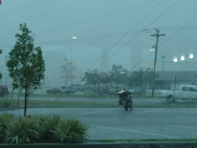
On Thursday, with fresh Amsoil in the crankcase, I rode from Gulfport to Magnolia.  In what seemed like a some sort of cosmic joke, within 50 feet (literally!) of riding past the “Welcome to Florida — the Sunshine State” sign, I was in a torrential downpour, which stopped — completely — in about 10 feet after only about 1/2 mile.  Florida rain can be like that.  Very sharply defined lines of precipitation.

In and out of a couple of rain showers after that, all very hard and very short-lived, and I got off of I-10 to ride to Marianna, the little town on US-90 where we lived from late in my 5th grade year until the day after I finished the 8th grade.

As much as I love Longview, TX, the town where I graduated from high school, and value my friends there, Marianna has a unique place in my memories.  Perhaps that’s because I was more innocent and less caught up in the drama of boy/girl relationships.  We lived in town for a couple of years and then moved out to Graham Air Force Base, where my dad was a civilian contract flight instructor teaching student officers and cadets how to fly, first in the AF version of the Piper Super Cub and then transitioning into North America AT-6Gs.  After the first year or so in Florida, they up-graded the training aircraft to the Beech T-34 and the North American T-28.

When we moved to the base, we lived in a trailer.  My mother insisted we call it a “mobile home,” but we all thought of it as a “trailer.”  It was a 43-foot long Spartan, the Cadillac of mobile homes.  But we bought it when the width of all mobile homes was fixed at 8-feet wide.  The next year there was a jump to 10-feet and then 12- and 14-feet wide.  So, our living quarters were … uh… cramped until Dad built on a room that we used as a living room and utility room.  While we lived on the base, we were adopted by the greatest dog I’ve ever known, a collie named Mac.

Both in town and on the base, there were woods for boys to play in, and on the base, they covered lots and lots of area.  We built tree-houses and forts and had a great time.  I started Boy Scouts while we lived in town.  I was confirmed in the Methodist church there and experienced what church could feel like when it was a warm and accepting family.

BUT, there was a dark side to Marianna that I never even imagined.  One of the things I remember is going to the State Reform School for boys on the edge of town with my Sunday School class.  We were told about the ways that boys who’d gotten off to a bad start were having their lives changed for the better.  It’s only been this year that I’ve heard the terrible reports of brutality, including rape, beatings, and murder that seem to indicate that up to 80-90 boys died with no record of their death or of their burial sites.

Plus, in reading Phillip Caputo’s book, The Longest Road, I learned Marianna was the site of the last public lynching in Florida.  When I read that, I realized that I never knew a single African-American while I lived in Marianna.  After we moved to the base, I knew black flight students, but not a single black person when I lived in town.

My idyllic boyhood was lived in a town (like many others, I suppose) with a dark strain to it’s history.  A few pictures:

P1060246

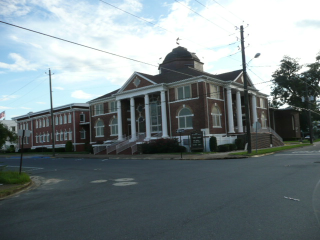
The Dozier School for Boys.

P1060283

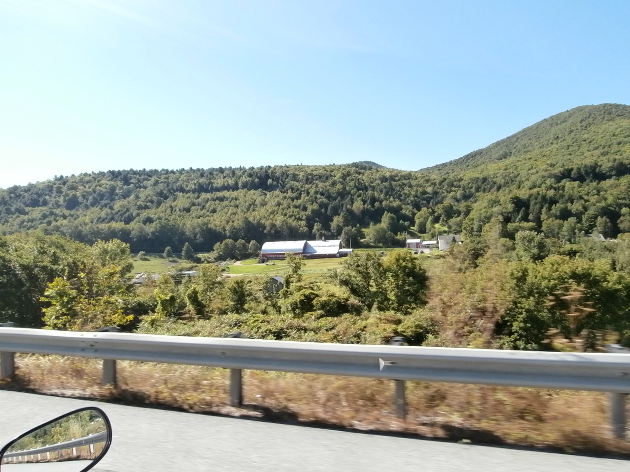
The house we lived in doesn’t look at all like it did when we lived in it.  Of course, we moved to the base in 1955, so the house is 58 years older than it was, just like I am!

P1060277

First (United) Methodist Church where I was confirmed and where I began to grow in my faith.

P1060278

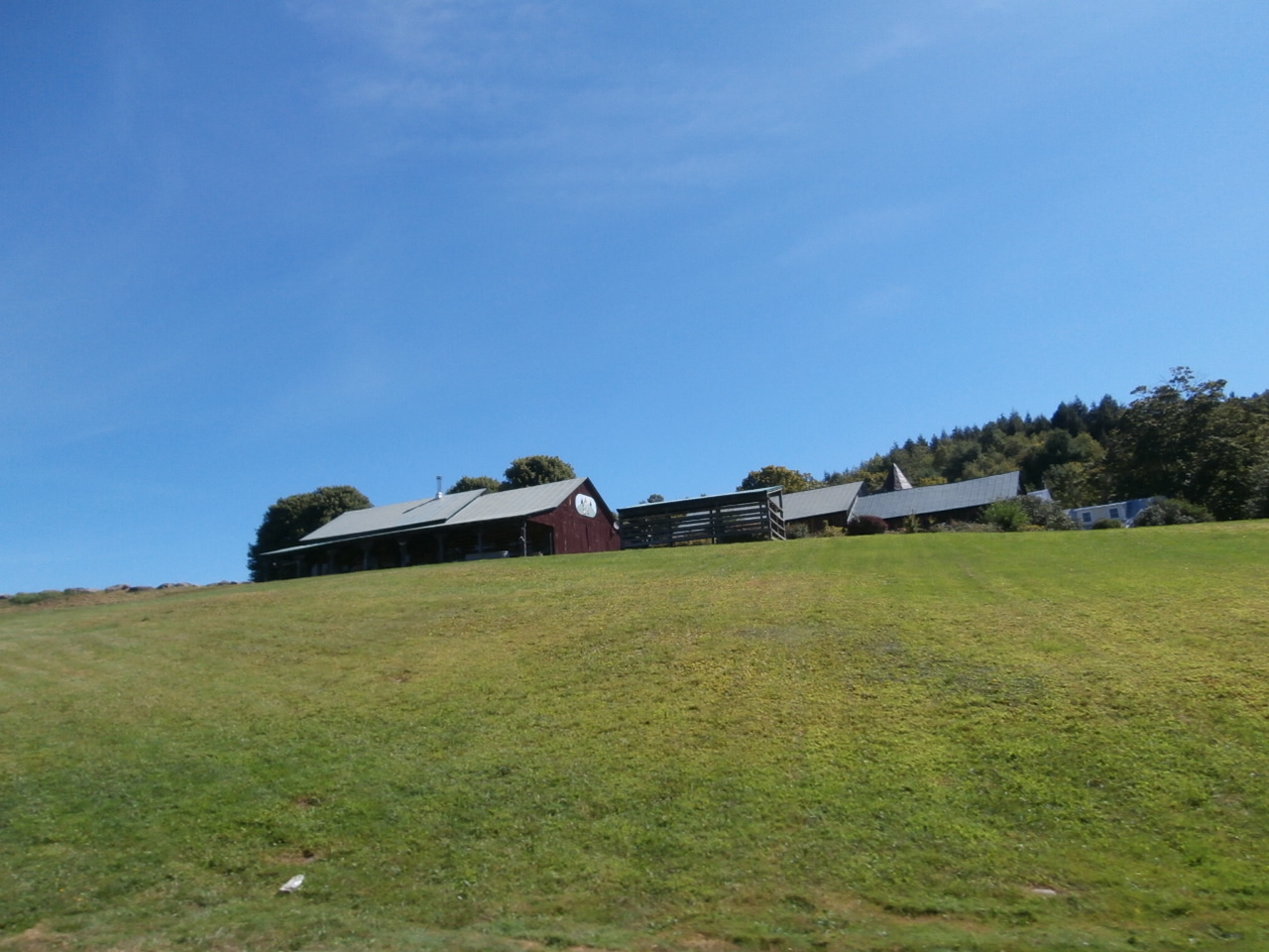
The Scout Hut (it didn’t have the addition that’s on the right of the picture when we used it for our Troop meetings.  It was on the grounds of a park which gave us lots of room for interesting activities.  It doesn’t look like it’s still in use.

P1060252

The chapel on the old base.  We had a great youth group on the base, thanks to the base chaplain, a Roman Catholic named “Father Little.”

The base has been divided into two parts now.  The parts that were administrative and residential areas are now part of “Sunland,” a state facility for hearing and vision impaired people.  It was beautiful — I just hope that there won’t be horror stories coming out about it 20-30 years from now.

P1060256

When we lived on the base, this was the “TAC” (or Tactical) Building, where a lot of academic instruction happened.  It also held the base theater and was where we went the only time we ever “evacuated” our “mobile home” because of a hurricane.  I remember that Mac was miserable because the floors were so slick with wax that he could hardly walk.  Nothing happened to our trailer or to anyone else’s.  But it was an adventure!

P1060261

This was where the base “mobile home” park was.  Now it, and the area along the flight line and a good part of the woods we played in and explored have been converted into an industrial park.

P1060267

The old control tower, now in disrepair.  The building also had Dad’s squadron offices, briefing room, etc. on the ground floor at the left side of the building.

The other thing I noticed about the way I remember things and the way they are now is that everything is closer together and smaller than I remember it.  What do you suppose ‘splains that?

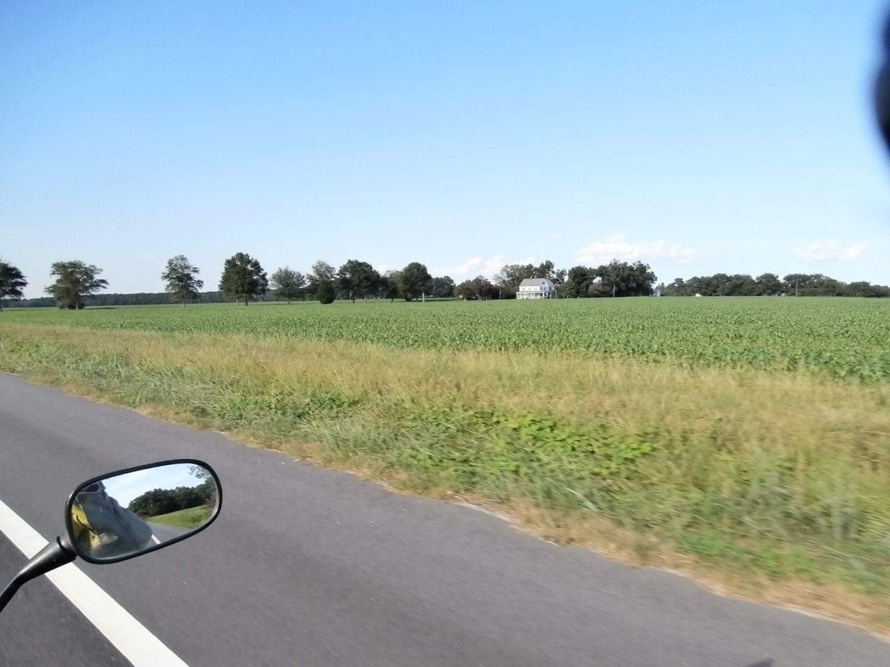
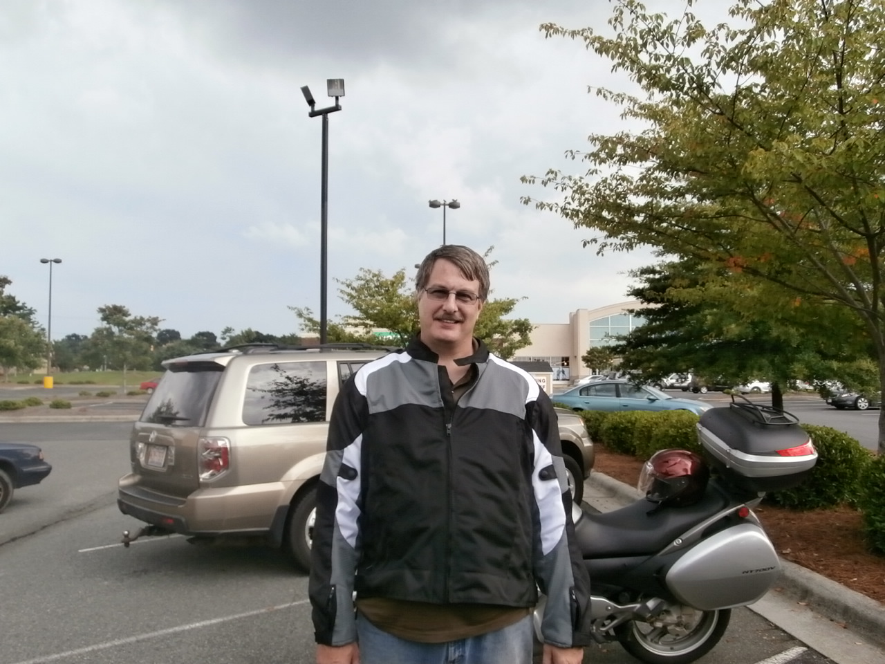
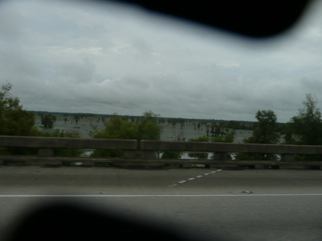
After I left Marianna, I began repositioning myself for my conquest of Corner # 3 of the Four Corners Tour.  I kept going east on I-10 and realized (again) how useful a GPS is for a person traveling in a strange area.  East of Tallahassee, Florida is about as desolate as West Texas.  I finally decided I had to get gas and got off at the first exit that would have taken me to Madison.  When I finished gassing up, a highway patrolman was also finishing and came over and started talking to me about my bike, my ride, his bike and the bike he’s interested in.  We ended up talking for an hour.  About 20 minutes into that, his sergeant came in off the road and joined in.  The first patrolman knew about my ‘Stitch, the Four Corners Tour, and the Iron Butt Association.  The sergeant just thought we were all crazy.

The next morning when I woke up in my Super 8, I had the first episode of not feeling quite “right” that I’ve had since I left home.  I extended my checkout time till a bit after noon and was OK the rest of the day.

I rode to Gainesville, a few miles east of I-75 and checked in at the Honda dealer who’ll mount the tire I ordered from Motorcycle Superstore and replace front brake pads for me on Monday.

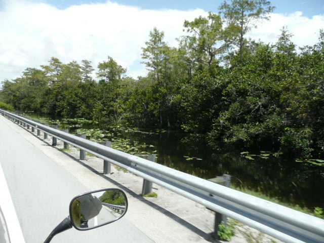
Then I had the choice of riding a longer distance and on some non-Interstate roads or buying a Florida Turnpike SunPass.  I picked the SunPass, and activated it from the food court of the Service Plaza.  I was on “Florida’s Turnpike until within a mile of my motel here in Florida City.  There had been a wreck that caused another episode of the “Freeway Crawl,” this time at night and on the opposite coast.  For about five miles, traffic was stop and go until we cleared the wreck.

Once more, all the warnings I’d gotten about Florida drivers  and traffic seemed inaccurate.  Driving around Miami was no harder than driving in Houston.

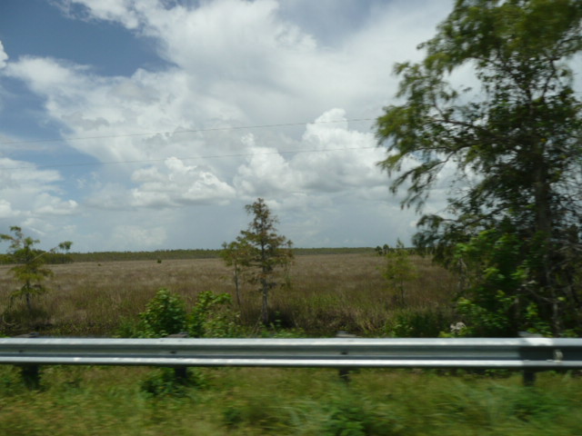
Today, I got up, and messed around at McDonalds before heading down US-1 to Corner Number Three, Key West.  The warnings I had about the road to Key West were all accurate.  There was a lot of traffic, only a few places to pass (and if you did pass, you didn’t really gain anything), and, while I never had to stop except at lights, it was a long, hot slog to the Southernmost place in the US.

But I made it!

P1060324

Corner Number 3!  Only one more to go!

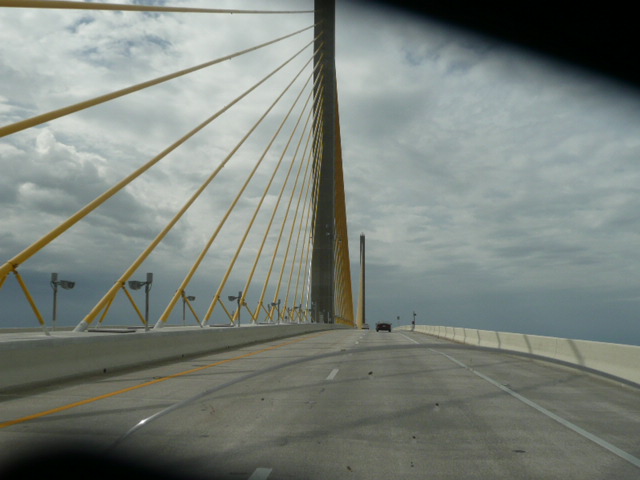
I’m back in Florida City now and tomorrow I’ll ride across Alligator Alley, up and over the Tampa Bay Bridge and end up in Gainesville ready to get that tire on Monday morning.  UPS usually gets there between 10:30 and 11:30.

After I get the tire, I’ll be heading for my brother Mike’s house on Lake Keeowee near Salem, SC.  It sounds like I’ll get wet in a more protracted fashion as I head across Georgia, but that’s OK.

Stats:

Thursday, August 15, Four Corners Day 11, Epic Ride Day 31:

Day, 402 miles; Trip, 12,341 miles; Year, 18,148 miles; Total, 70,237 miles.

Friday, August 16, Four Corners Day 12, Epic Ride Day 32:

Day, 475 miles; Trip, 12,816 miles; Year, 18,623 miles; Total, 70,712 miles.

Saturday, August 17.  Four Corners Day 13, Epic Ride Day 33:

Day, 282 miles; Trip, 19,098 miles; Year, 18,907 miles; Total, 70,994 miles

Categories: Uncategorized | 5 Comments

Two New States by Motorcycle…

States Visited

If you’ve never seen this before, it’s a map that you can change to show the states you’ve visited.  I added Louisiana and Mississippi today.  Tomorrow, I’ll get Alabama and Florida colored in and then as I go to Madawaska, I’ll get everything but CT, MA, and RI.  I’ll pick them up after Nova Scotia (and Newfoundland and Labrador (if I can get Newfoundland and Labrador).  I can’t remember if I mentioned that the ferry to Newfoundland is closed to tourists right now.  Hopefully it’ll be fixed by the time I get there.

I’m at the Motel 6 in Gulfport, MS, after stopping in Baton Rouge, LA, for an oil and filter change courtesy of Tim Wilke, a fellow NT-Owners Forum member.  Bill Butcher (Big Bill on the Forum) was also there.  It was great to meet Tim and Bill and it was great to have Tim’s wonderful wife prepare us a great sandwich, a delicious smoothie, and refreshing iced tea.  I enjoyed sitting on my butt while Tim did a meticulous oil change (I think he maybe got three drops of oil on his clean garage floor — his garage may not be quite as clean as Chuck Henderson’s [“chucksklrst” on the Forum], but it’s danged close.  Plus I got see what a clean NT looks like … and a clean Wee-Strom.

IMG_1260_zps1e7017be[1]

I think Tim may have photo-shopped the pix he took because Dudley looks cleaner in those pictures than he is in real life.  🙂

IMG_1263_zps91440313[1]
Linda cleaned my headlight and windshield and it was nice to be able to see as I came east from Baton Rouge.

I got sprinkled on a bit on the east side of Houston this morning, but not much.  I had been pleased that in the first hour after leaving Bob and Kathy’s I covered 58 miles.  I was over a 60mph average when, just west of Crowley, LA, I saw ominous clouds, very low, very black and accompanied by a “roll” cloud that frequently indicates a particularly nasty squall line.  I pulled off and went to a McDonalds so I could take a look at radar on the computer and it looked like Crowley was the target of everything nasty.

P1060204

I think I ended up in Crowley for about an hour and a half before the rain finally quit coming in waves.

I rode across the Atchafalaya Basin on the causeway and enjoyed seeing the swamp.

P1060207

My lens cover didn’t completely open for this picture, but you can get the idea.  The Army Corps of Engineers has been working for years to keep the Mississippi River in its current channel, but some experts say that it’s always looking for the easiest route to the Gulf and “one of these days” it’ll jump over into the Atchafalaya.

I would have gotten to Tim’s earlier than the 5:30 I actually arrived, but I didn’t look long enough at the map I had on S&T and bailed off of I-10 about two miles before the split with I-12.  Then I took a long square-ish detour through some of the more interesting parts of Baton Rouge before I stopped at a little grocery store and went in to make sure I wasn’t completely lost.  The man I was talking to knew exactly where I needed to turn to get to Tim’s house.  I didn’t ask him if he knew Tim.  🙂

The oil change went smoothly (Thanks, Tim!) and if I hadn’t enjoyed the conversation and the food so much, I could have been riding a lot quicker.

P1060221

Left to right:  Tim Wilke, Bill Butcher (who reminds me of a missing friend from my time in Ogden, UT, a guy named Bill Koenig), and me, the old fat cripple.  🙂

Bill and I left Tim’s at the same time and Bill was in front of me when I got onto I-12, but I never saw him again.  It was a nice ride through the night.  The moon is shining here now.  I hope that bodes well for tomorrow’s travels.  I’m going to pull off of I-10 to swing by Marianna, FL, a little town where I lived from the 5th through the 8th grade while my dad was a civilian flight instructor for the Air Force at Graham Air Base.  Then I hope to get south into Florida far enough that I can get to Key West on Friday and maybe get part way back off the Keys.  I’m probably going to need to get a tire somewhere in Florida.  My rear Michelin Pilot Road 3 is looking pretty worn.

Stats:  Day, 444 miles (two-thirds of the “Number of the Beast!!”); Trip, 11,939 miles; Year, 17,646 miles; Total, 69,835 miles.  I’ll roll over the odometer to 70,000 miles tomorrow!

Categories: Uncategorized | 4 Comments

Blog at WordPress.com.